



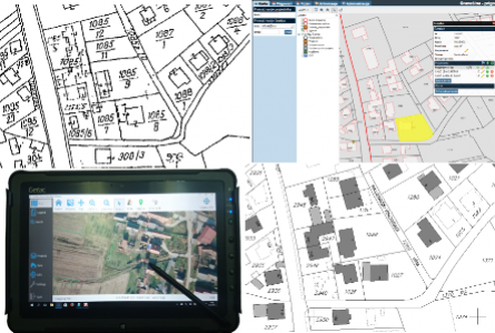
The Real estate cadastre is the basis for the land registry and together they represent the state evidebce of the real estate. They reflect the actual situation on the ground and actual ownership relationships, thus contributing to the development of an effective real estate market and spatial management in general. For the purpose of establishing a real estate cadastre, it is necessary to carry out extensive geodetic and other works. Cadastral survey is the method of establishing a real estate cadastre that has the best final results, with great flexibility and simplicity of the procedures of registering the actual state of the cadastre and the land registry.
Cadastral survey includes the following works:
The employees of Geoprojekt company, with many years of experience in conduction of the cadastral surveys, carry out all necessary engineering work on the real estate cadastre by using modern data collection and processing technology, provide expert support to cadastral survey participants, and by participation in the process of disclosure of cadastral survey data to public insight, they contribute to the final formation of real estate cadastre.
SERVICES:
REFERENCES:
Since 2002, Geoprojekt has made more than 40 cadastral surveys in the whole territory of Croatia: from Slavonia, Podravina and Hrvatsko Zagorje, middle Dalmatia and Adriatic island to the south end of Croatia. The investor is the State Geodetic Administration together with the regional and local administrative units. Some of them are:
The total coverage of cadastral survey is over 50,000 hectares, 150,000 cadastral parcels and 70,000 buildings.